
Project Description
The 10 Southeast Asian Countries are joining forces to form the ASEAN Economic Community (AEC) by 2015. The AEC envisages a single market & production base, a highly competitive economic region. Among others, the areas of cooperation include human resources development & capacity building as well as recognition of professional qualifications. The specific defined goals fall under nine headings namely: (1) Sustainable Urban Planning and Infrastructure Development; (2) Sustainable Land Management and Biodiversity Protection; (3) Sustainable Coastal Zone Management; (4) Air Quality Management and Protection; (5) Sustainable Water Resource Management; (6) Science and Technology for Sustainable Development; (7) Southeast Asian Sustainable Development Information Network; (8) Policy Reform for Sustainable Development; and (9) Governance Reform for Sustainable Development.
The specific defined goals are cross-cutting several academic and applied disciplines and these require multi-disciplinary competences for understanding and analysing the interplay of these factors. The jumble of social, economic, environmental and developmental issues various societies face today certainly require integration and analysis of several types of data and applications of new technologies and methodologies help making the analytical processes efficient and effective.
Objective
Develop in-depth understanding of spatial patterns of various natural, social and economic phenomena introduce a variety of sophisticate methods and efficient GIS-technologies to analyse various processes give ‚hands-on‘ practical training using GIS-software for capturing, processing and analysing various types of spatial information for re-presenting the present, re-constructing the past and projecting the future trends.
Activities
Organise a short intensive ‘Faculty Development Workshops’ at the host institution in Malaysia and invite participants from several ASEA Uninet member Universities in Southeast Asia.
The reason for organising a short intensive multi-partner ‘Faculty Development Workshop’ is to network with several institutions, to share the ’know-how’ and generate higher multiplier effect within a short period (1 week) and initiate an academic network for future scientific cooperation among several institutions of higher education.
Outcomes
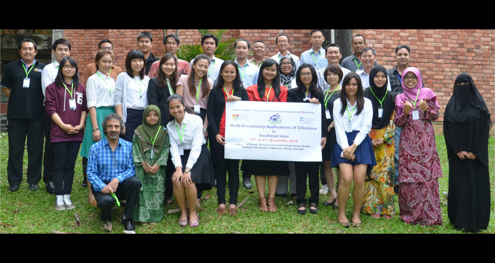
- An intensive Faculty Development Workshop was organised at the School of Social, Development and Environmental Studies, National University of Malaysia, Selangor from 17th to 21st November, 2014
- 29 teachers and postgraduate students participated in the workshop and completed individual Geospatial practical projects exploring multi-disciplinary applications of Geographical Information Science in Southeast Asia. All the participants presented the outcomes of their projects in the dissemination seminar.
The list of the participating institutions and number of participants is following:

The Coordinating Team acknowledges and highly appreciates various types of contributions provided by the following:
- ASEA Uninet, Austria
- Interfaculty Department of Geoinformatics – ZGIS, University of Salzburg, Austria
- National University of Malaysia (the host institution)
- The participating ASEA Uninet member institutions from Southeast Asia
The details are available on the project website www.zgis.net/multigis
Project Coordinators:
Prof. Josef Strobl
Head of Department, Interfaculty Department of Geoinformatics – Z_GIS, University of Salzburg, Austria
josef.strobl@sbg.ac.at
Dr. Shahnawaz
Interfaculty Department of Geoinformatics – Z_GIS, University of Salzburg, Austria
s.shahnawaz@sbg.ac.at
Dr. Lam Kuok Choy
School of Social, Development and Environmental Studies
National University of Malaysia, Selangor, Malaysia
lam@ukm.edu.my
Project Details
- Date Februar 3, 2017
- Tags Geoinformatics
Comments are closed.